Photorealistic Aerial Renderings
Photorealistic Aerial Renderings
By technique: Watercolor · Motion
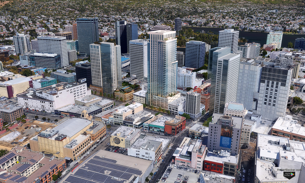
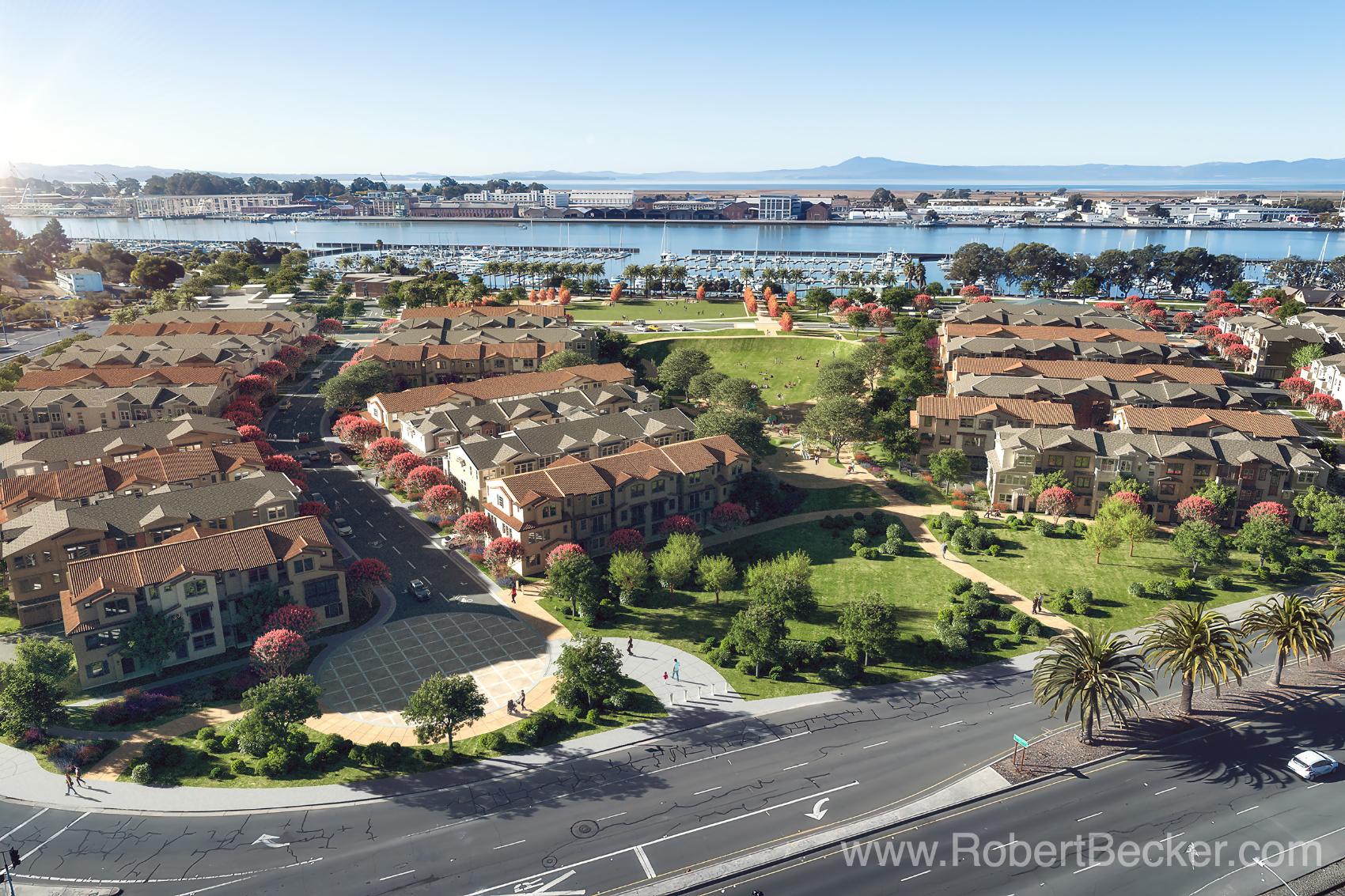
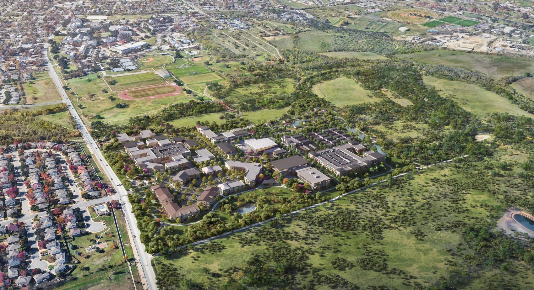
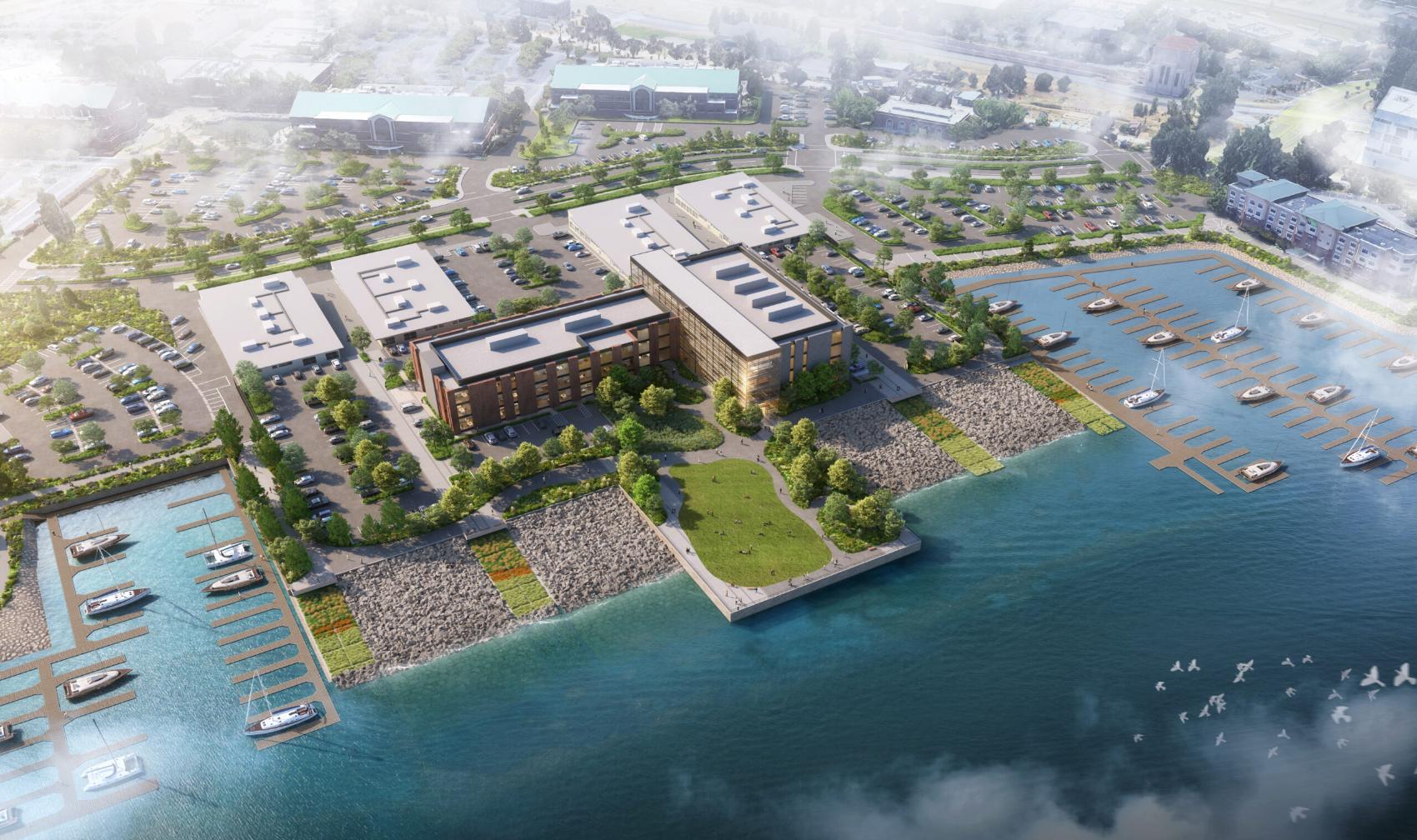
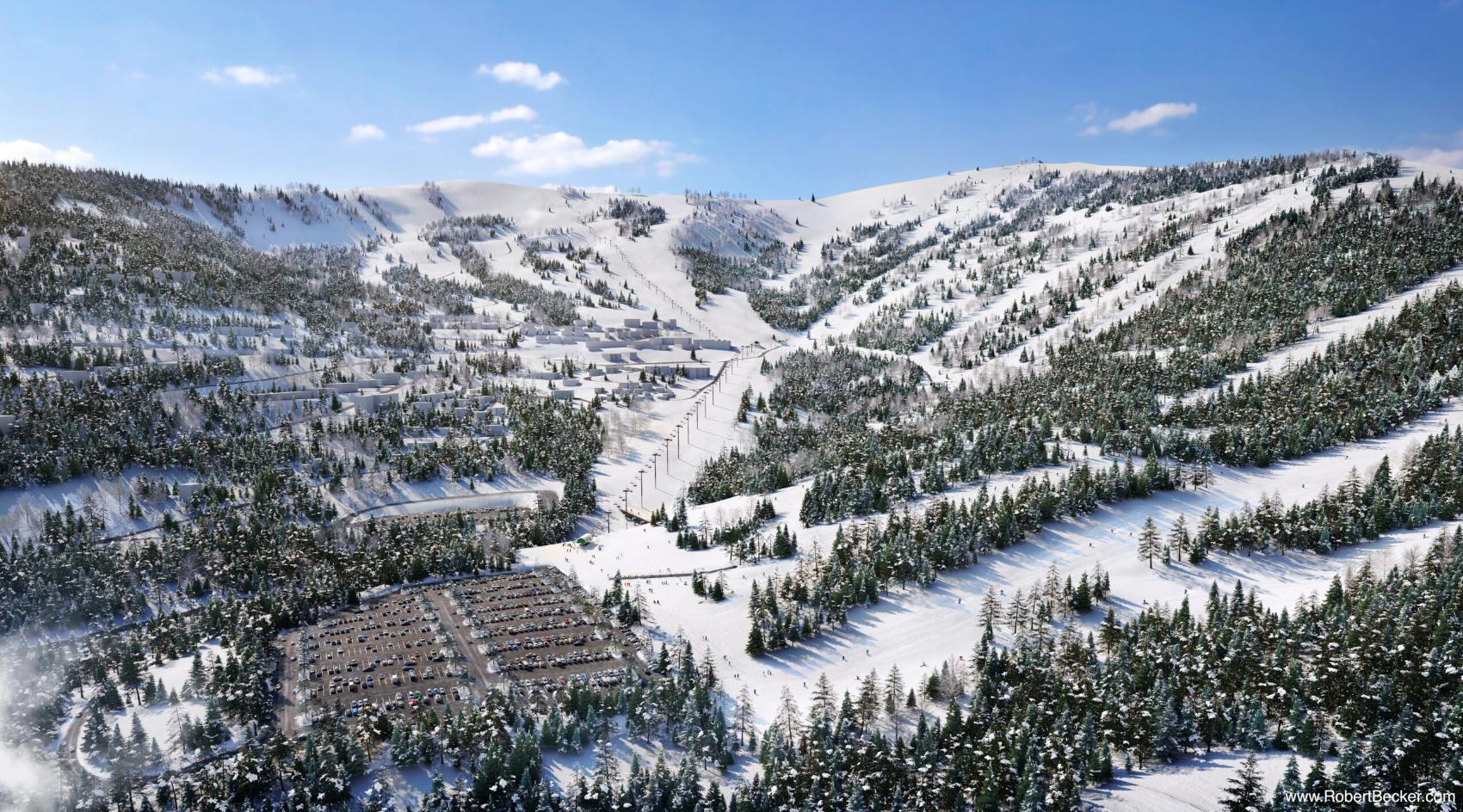
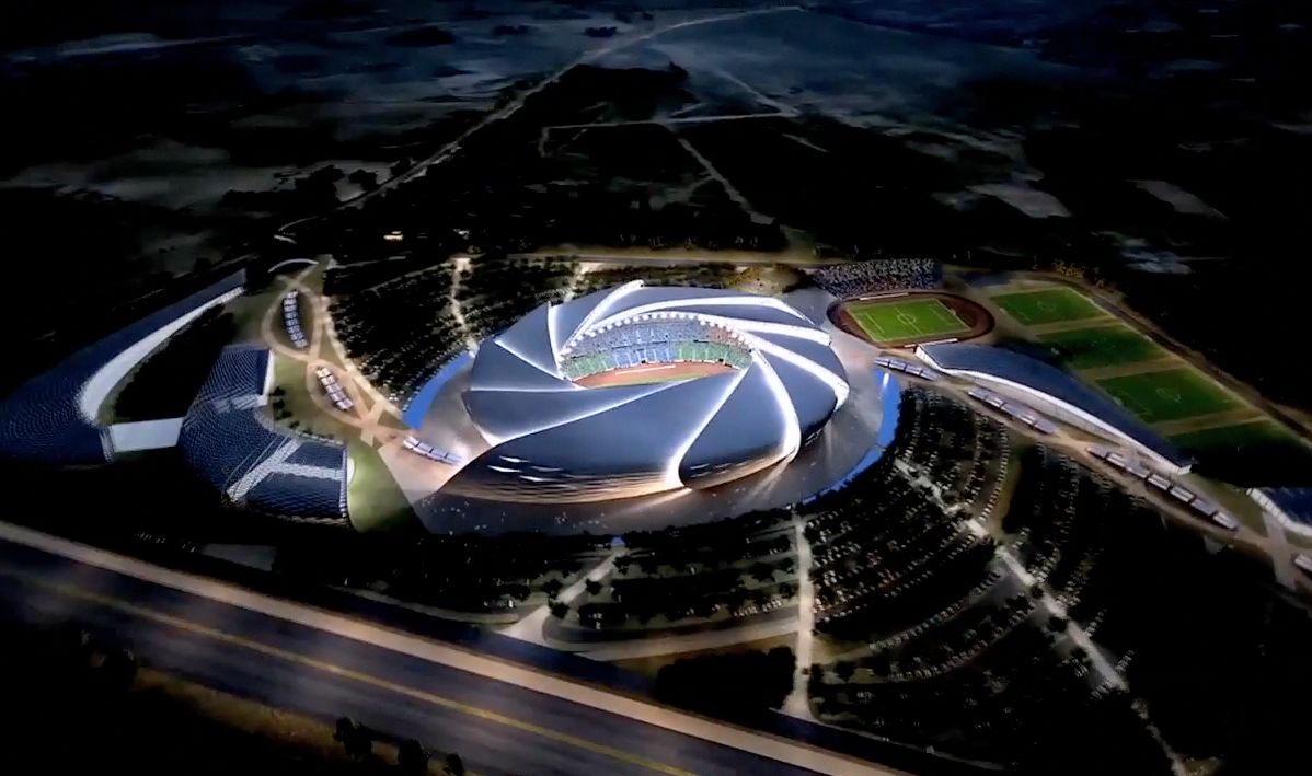
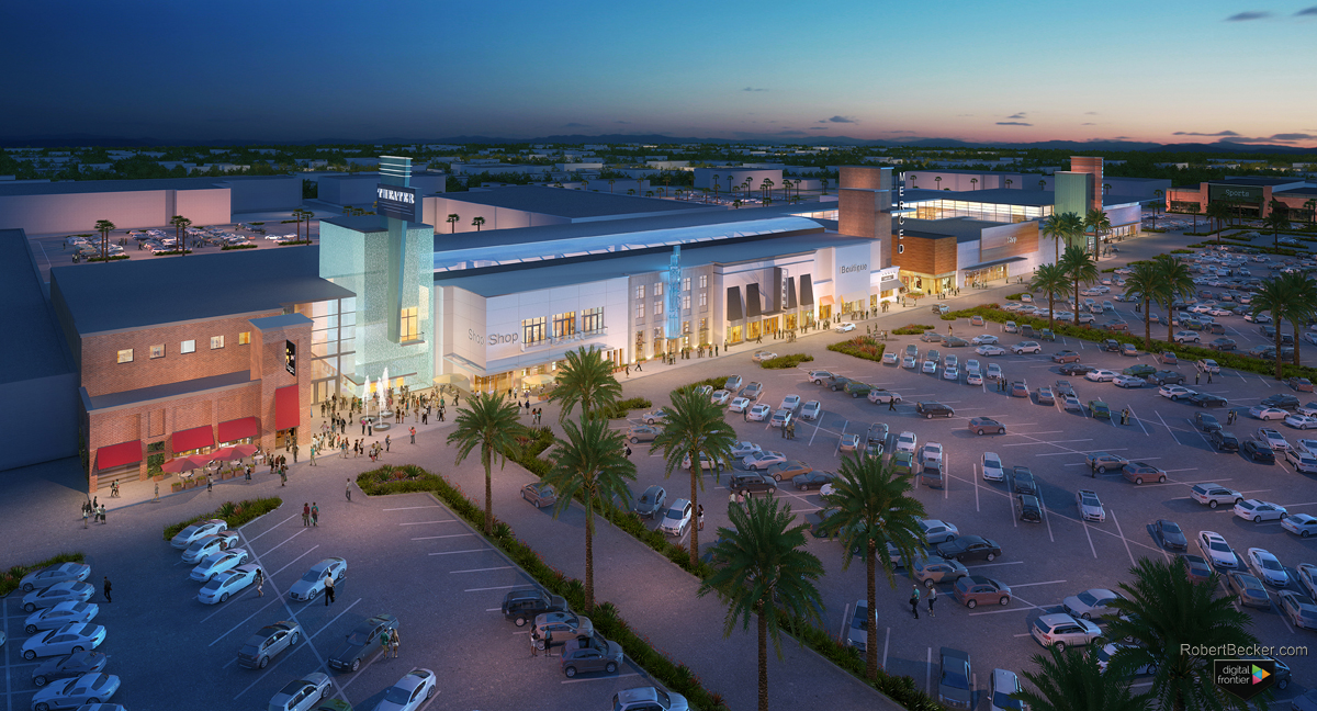
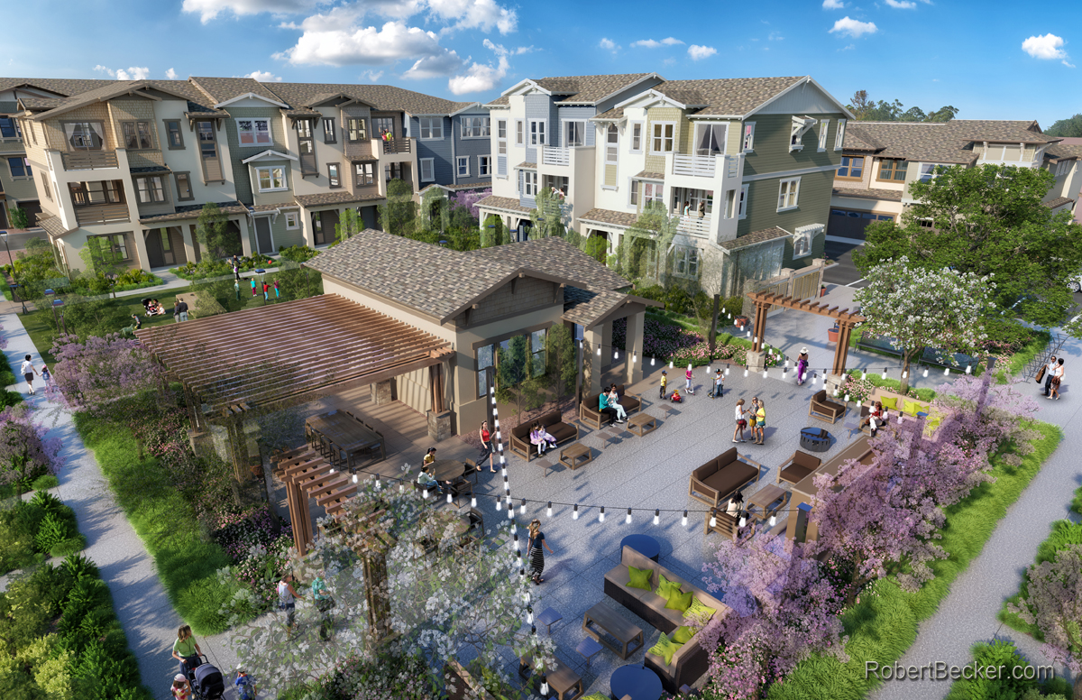
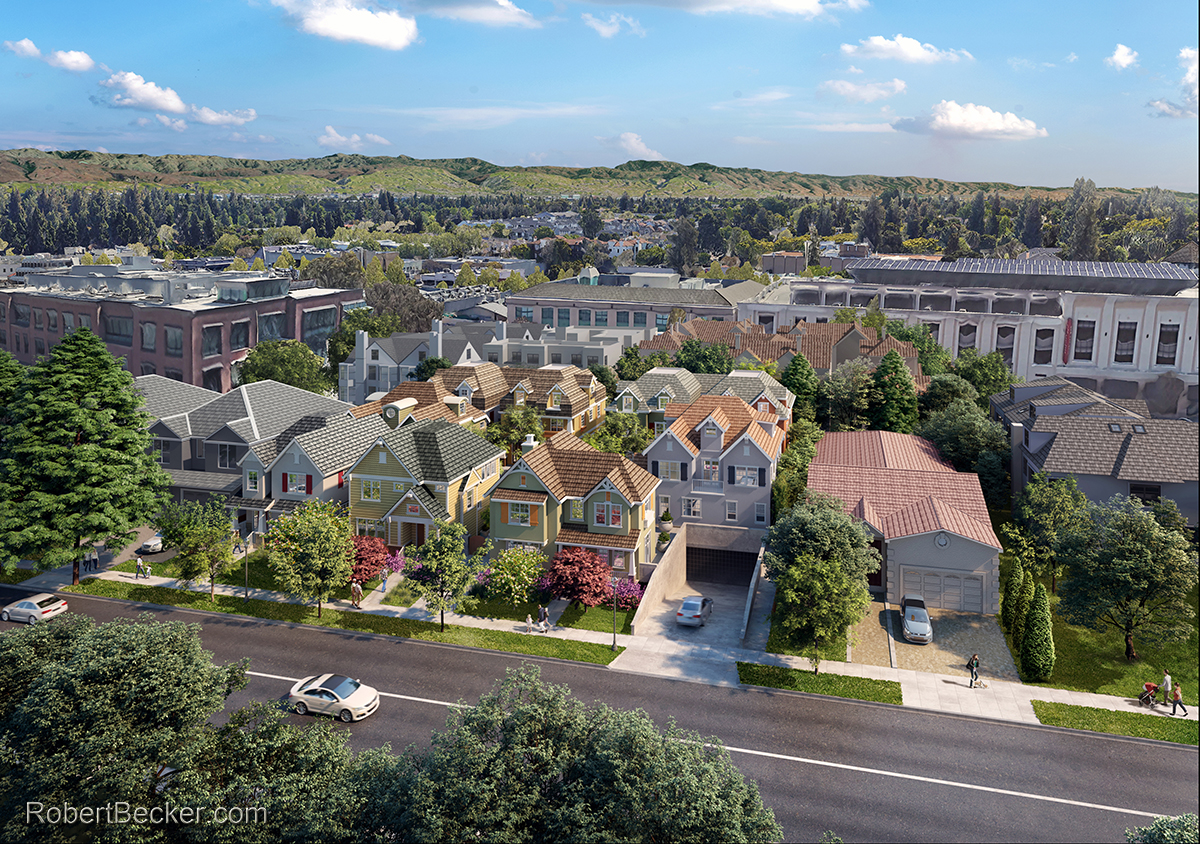
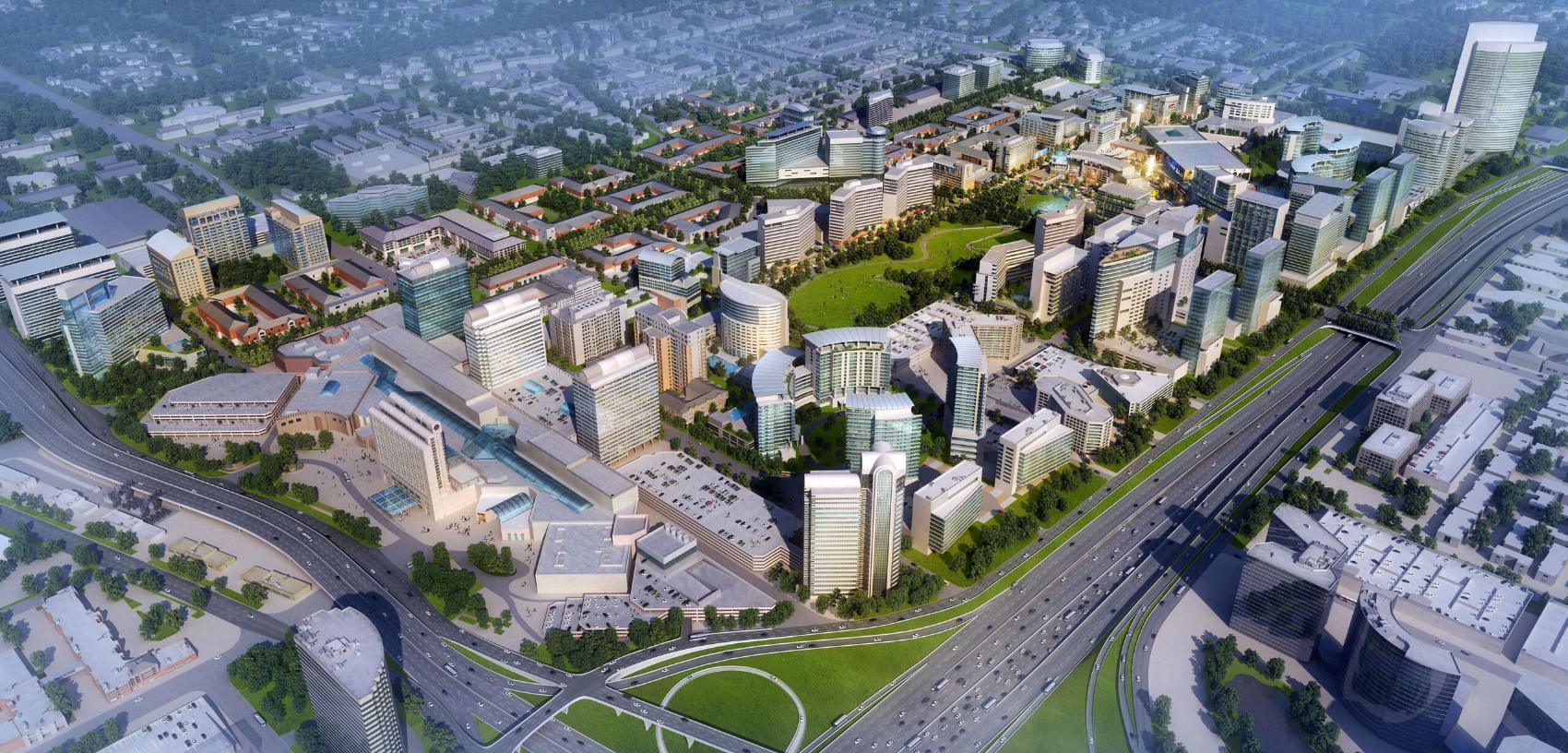
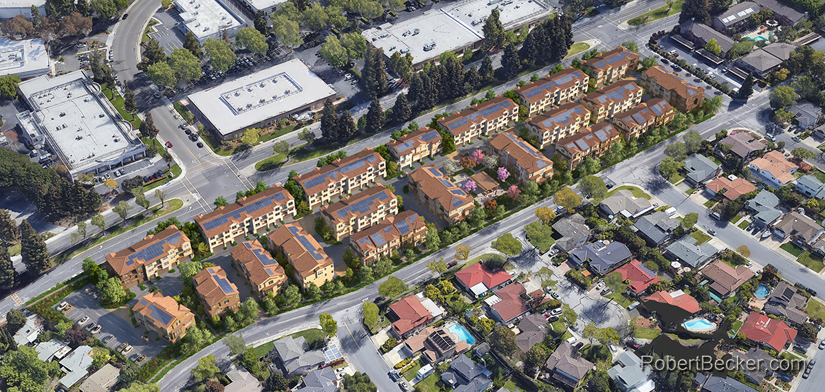
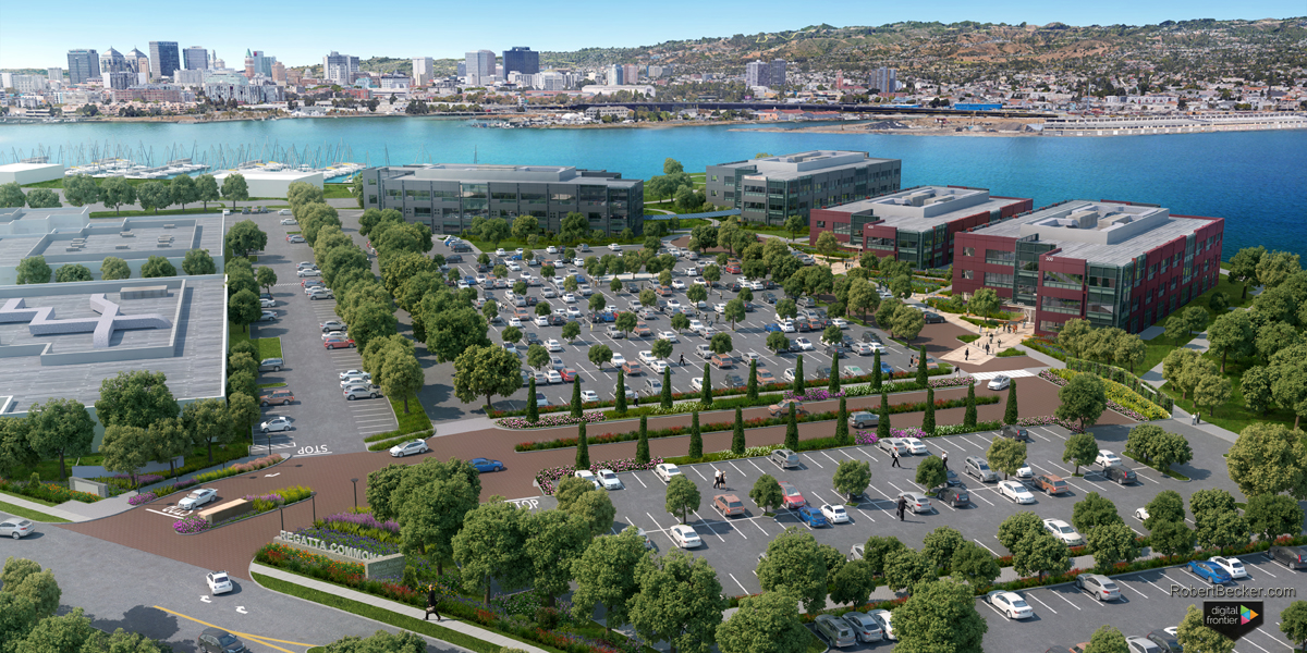
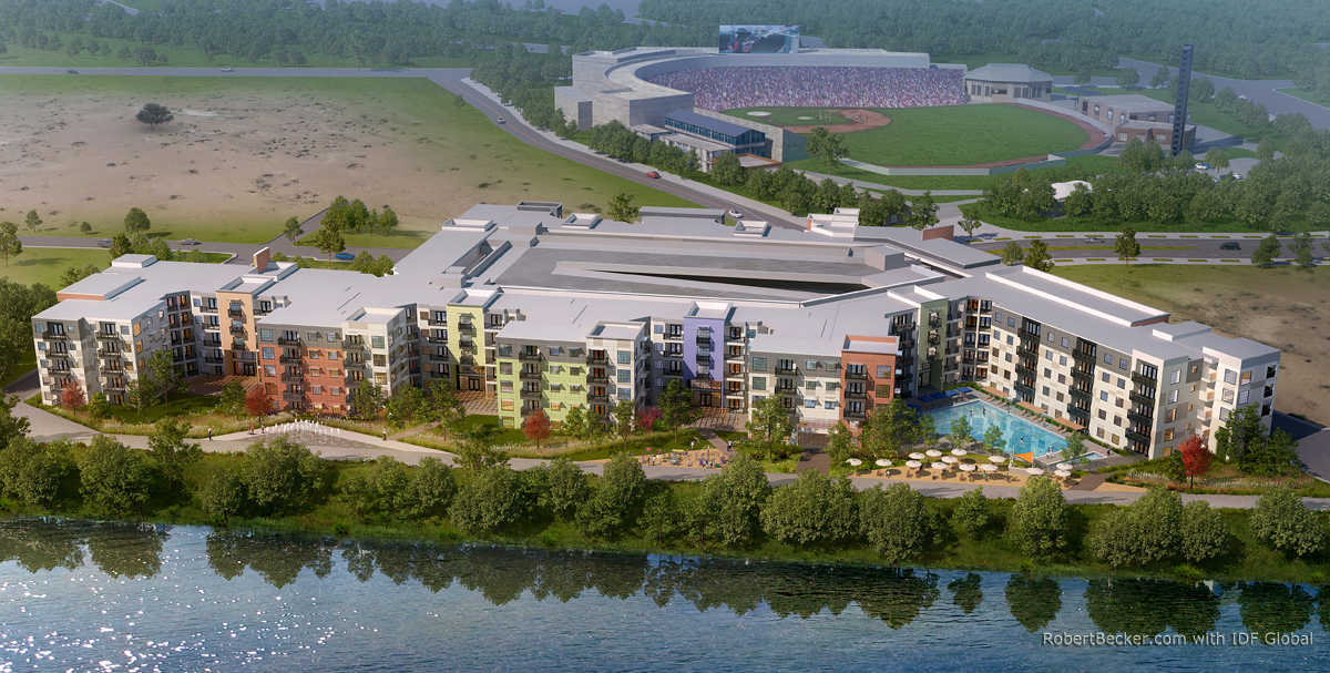
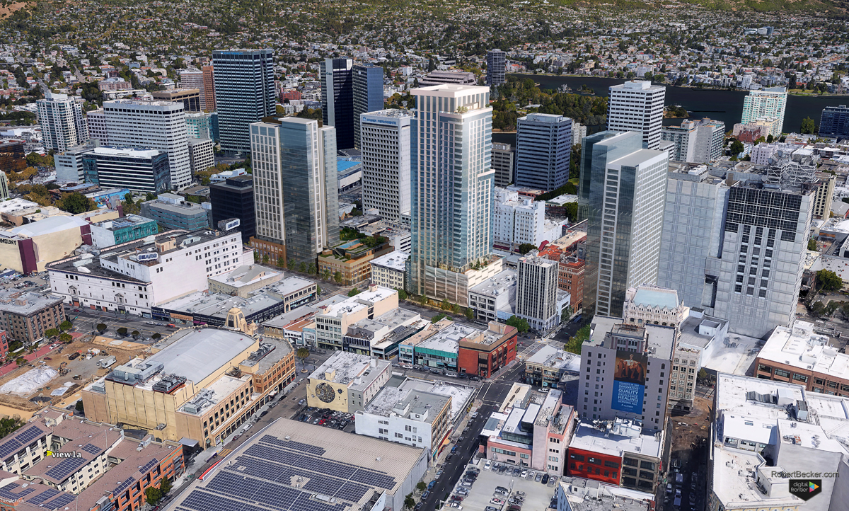
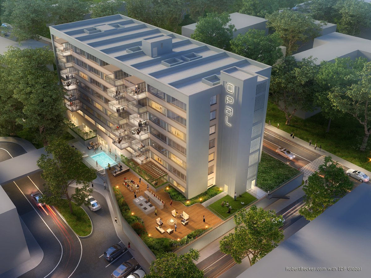
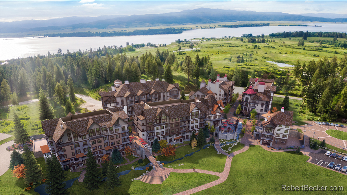
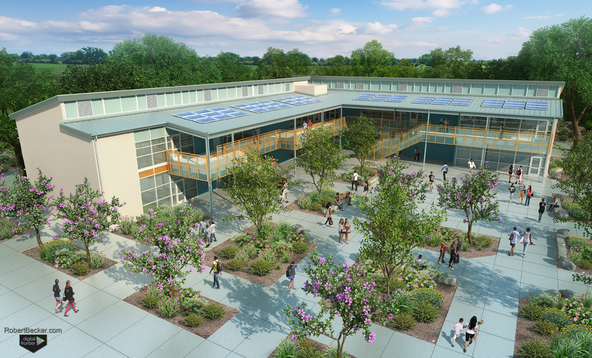
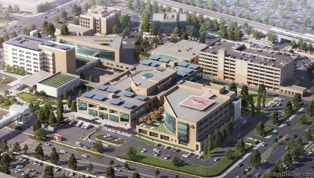
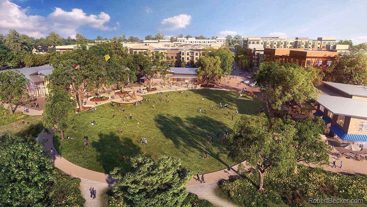
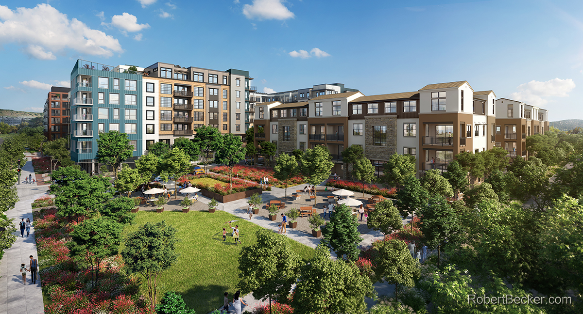
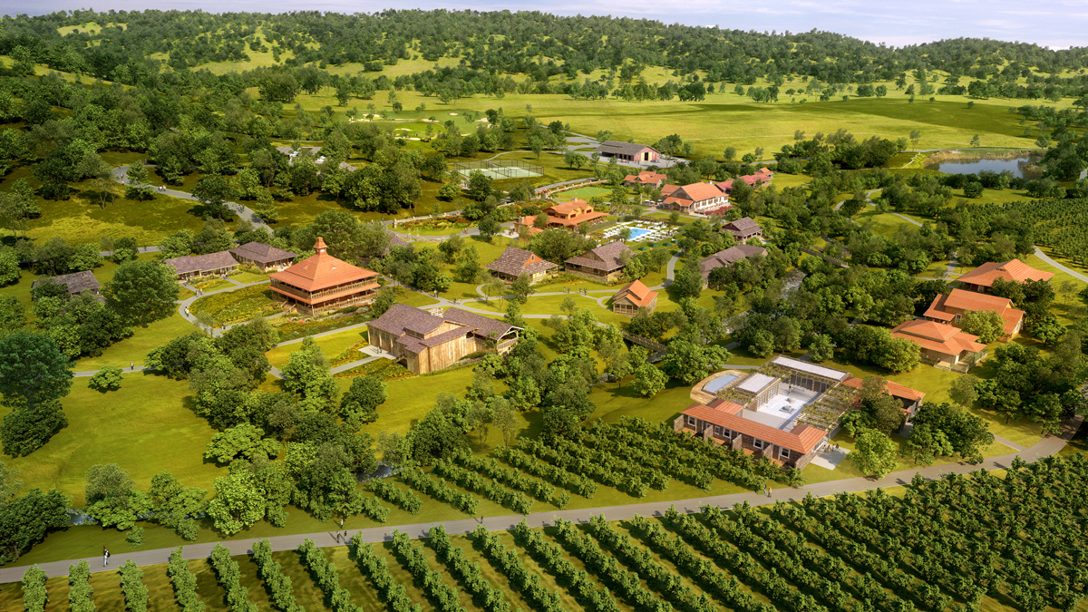
An aerial rendering shows a project from an elevated vantage point, built entirely from the 3D model. Reviewers see the full site plan, roof forms, and how the building relates to its neighbors in a single frame. This works well for planning submissions, entitlement packages, and investor materials that need to show scale and context together.
Aerials are useful for showing site context, parking, landscaping, and how a project fits its surroundings. Reviewers and investors get the full picture in one image.
Every aerial 3D rendering comes from the same model used for stills, animation, and VR, so the aerial view stays consistent with every other image in a project package. Developers also use aerial renderings to market available space to prospective tenants before a building breaks ground, showing parking, access, and site context that helps close lease deals faster.
Trusted By































Discuss an aerial rendering project
Call 925-254-4234 or email robert@robertbecker.com.